Rotara
NASA Space Apps Challenge 2026 · Field Shift challenge
Earth observations for farmers
See how the weather on your field has changed.
Drop a pin on your UK farm. Rotara uses NASA data to show what changed in the last 5 years, and 3 crop plans for the next 3.
Free. No account. Nothing is saved.
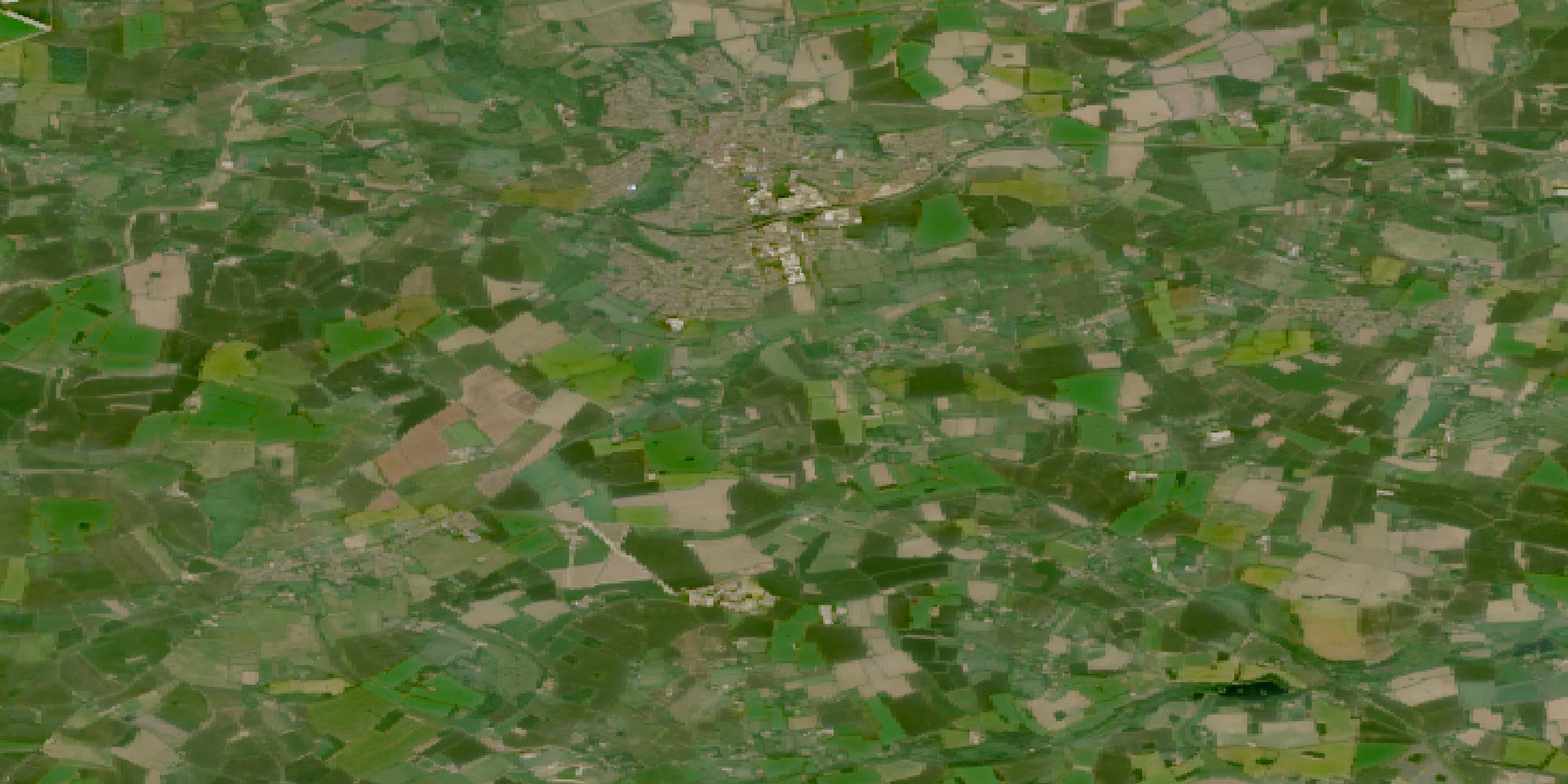
Seen from space: farmland near Dereham, Norfolk · NASA HLS (Landsat + Sentinel-2) · 11 June 2025
How it works
- 1Pick your fieldDrop a pin on your farm in the UK, or try our Norfolk example. Western Nevada shows it works abroad too.
- 2See what changedNASA data compares the last 5 years with the 20 years before.
- 3Compare 3 plansKeep what you grow, use less water, or build up the soil. You decide.
From space to your soil
Satellite and climate records help put changing field conditions in context.
- Temperature, rain and soil wetnessNASA POWERMonthly since 2001, for any spot on Earth.
- Satellite rainGPM IMERGA second NASA source to check the rain numbers.
- Satellite soil moistureNASA SMAPChecks the soil numbers from space, for the Norfolk example farm.
Rotara supports your decisions. It does not replace local advice. Built by team Valor Astra for the NASA Space Apps Challenge 2026.